The Philippine government was elated by the inclusion of the West Philippine Sea (WPS) label in Google Maps.
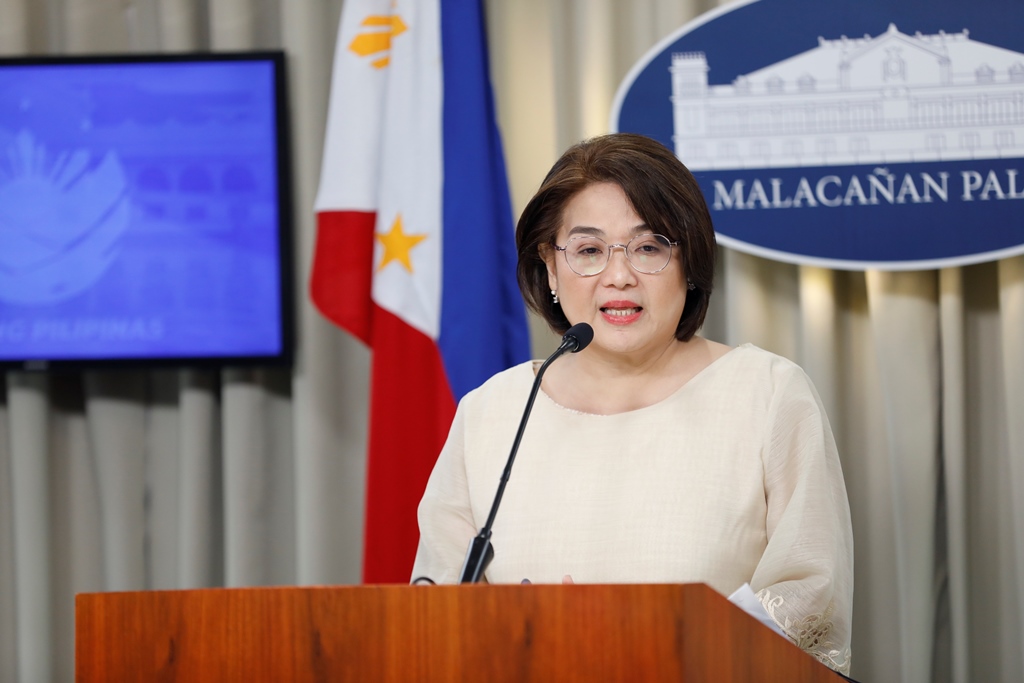
“Masaya nang makilala ang West Philippine Sea kahit na ang iba ay sinasabing gawa-gawa lamang daw ang West Philippine Sea,” Presidential Communications Undersecretary and Palace Press Officer Claire Castro said on Monday.
In a press briefing in Malacañang, Castro said the West Philippine Sea has been acknowledged by the international community and recognized by a platform such as Google Maps.
“Muli dahil nagkaroon ng pagkilala sa isang platform katulad po ng Google Maps … ito po ay ipinupunyagi po natin dahil isa ito sa pagkilala ng West Philippine Sea na ito ay sa atin,” Castro added.
The National Maritime Council (NMC) likewise welcomed the inclusion of the West Philippine Sea label in Google Maps.
“We look at this initiative of Google Maps as a reflection of the growing acceptance that the waters of the West Philippine Sea are within our sovereignty, sovereign rights and jurisdiction, in accordance with the 1982 United Nations Convention on the Law of the Sea (UNCLOS) and the 2016 South China Sea Arbitral Award, and as bolstered by Republic Act 12064 or the Philippine Maritime Zones Act,” the NMC said in a statement.
The NMC said it reaffirms the commitment to protect and uphold the country’s maritime rights and entitlements, in accordance with international and domestic law, and urges continued unity in promoting the national interest, especially in the West Philippine Sea.
The NMC said the inclusion is a recognition of the practical value of the national prerogative to name the Philippines’ own maritime zones, which will hopefully help encourage consistency in the term’s use by the international community and facilitate the upholding of the freedom of navigation in the West Philippine Sea, which is largely composed of the Philippines’ Exclusive Economic Zone (EEZ).
The term “West Philippine Sea” was first adopted by the Philippine government in 2012 and has since been widely used by Filipinos describing the maritime area in the South China Sea where the Philippines has jurisdiction.
The use of the “West Philippine Sea” label in a global platform, such as Google Maps, raises domestic and international public awareness regarding the Philippines’ lawful maritime entitlements, the NMC said.
It provides an internationally visible reference freely available to all across the globe and contributes to a stronger sense of national identity and unity among Filipinos, reinforcing pride in the country’s rights as a maritime and archipelagic nation, it said.
Its usage in other global mapping and navigation services would be most welcome, the NMC added. | PND